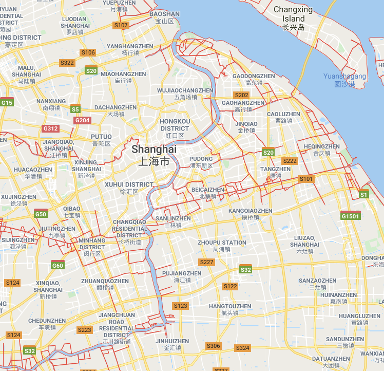
I’ve always found city layout models to be interesting to consider. For example, in Irvine, where I live, streets are all parallel and perpendicular to each other, making travel around the city easy. On the other hand, a city like Los Angeles has many streets that branch off from one another, diagonally intersect, and even 5/6 way intersections. Each city layout has a unique layout to deal with the landscape of their city, and for Dublin, it has to build around the River Liffey.

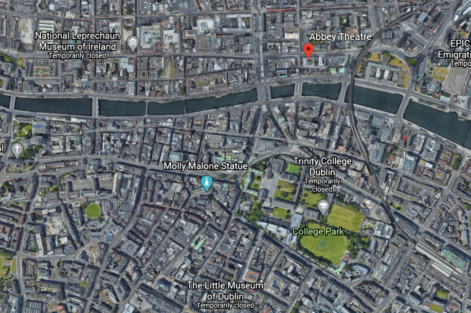
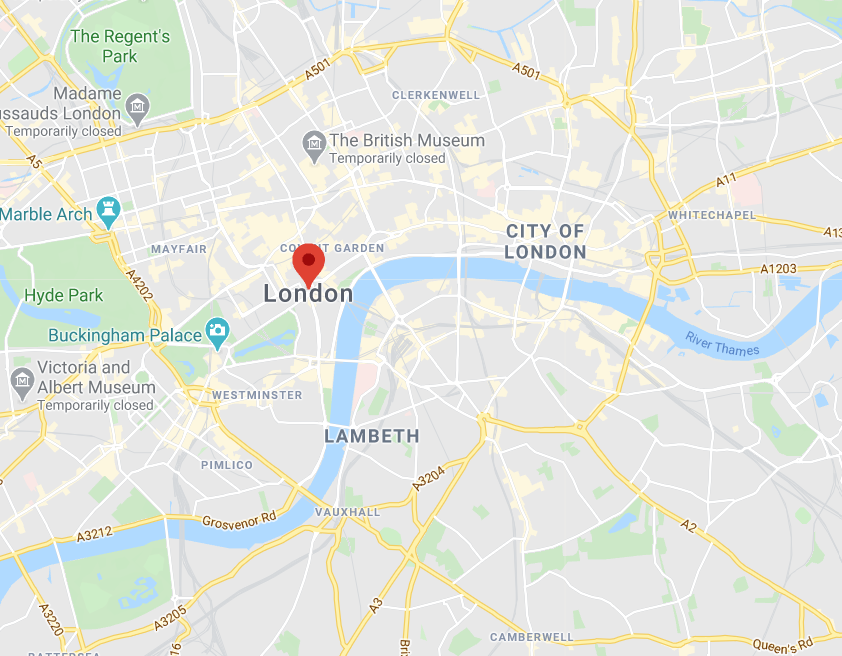
Having a large source of water near a city, be it a river or a bay, is pretty common – just look at London or New York City. However, it is very important to look at what building are close to where the sources of water are. I believe that the important buildings are oftentimes built to a closer source of water, as the water source serves as a good landmark as well as, of course, a source of water. You can see this idea reflected in Thom’s 1904 map, where landmarks like the Dublin Castle, Trinity College, and our Abbey Theater are close to the river shore.

Even in present day, not much has changed. Newer building have popped up and Dublin has expanded both down the river and across, but the same important Dublin buildings are still located near the River Liffey.


Very interesting point! I loved the comparisons to other cities. I was thinking along similar lines. I also noticed that famous theaters are often located by rivers. London’s Globe Theater is by the Thames and the Broadway Theater and New Amsterdam Theater are located by the Hudson in New York.
I really like your interpretation of buildings close to rivers as important buildings! Water is certainly essential to human life, for drink, agriculture, and transportation.